TOURISTIC ROUTES IN CEAHLĂU NATIONAL PARK
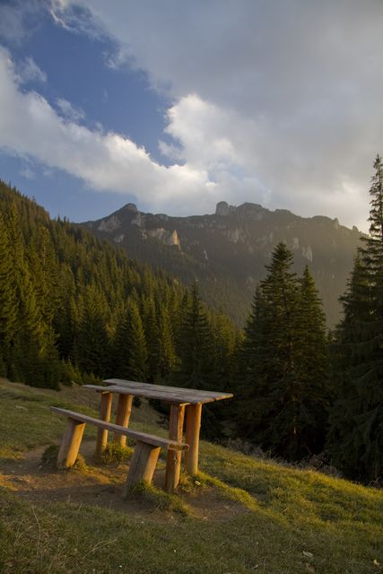 |
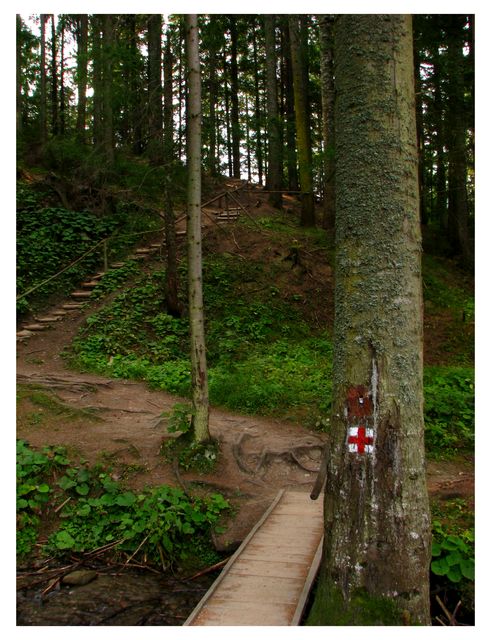
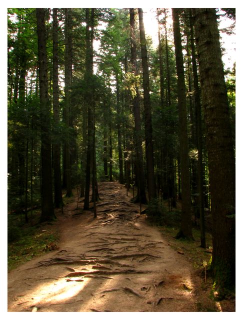
As a team building experience or as a way to spend your free time by practicing extreme sports the adventure tourism keeps gaining more tourists in Neamţ County. Ceahlău Mountain offers great panoramas and a multitude of ways to spend the holiday and that is why it’s the perfect destination for this kind of tourism. Ceahlău Mountain can be explored on one of the 7 touristic routes that are well marked for tourists: https://www.visitneamt.com/maps-neamt-county-tourist-romania/map-for-ceahlau-national-park/ |
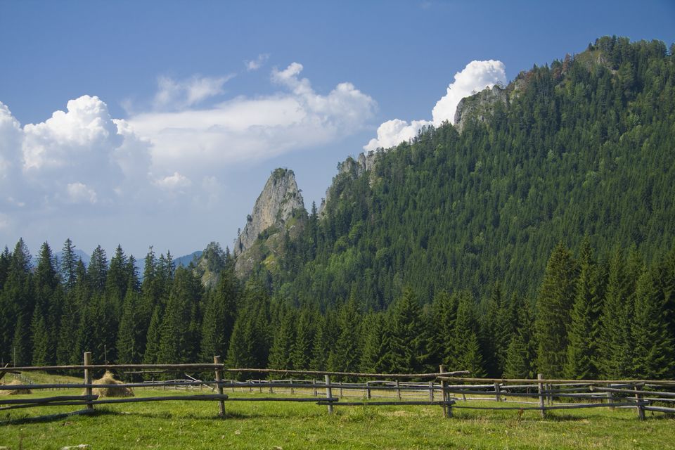
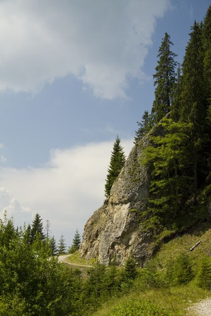
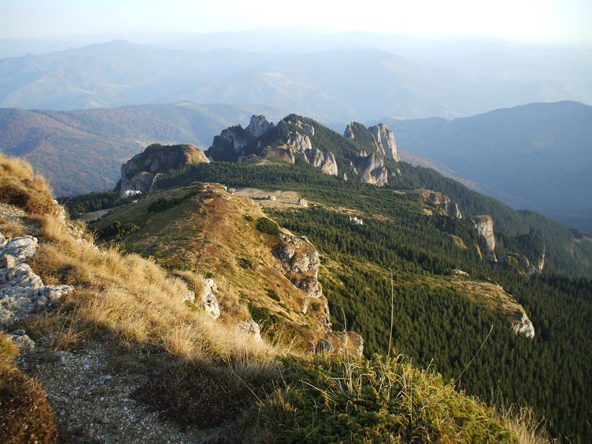
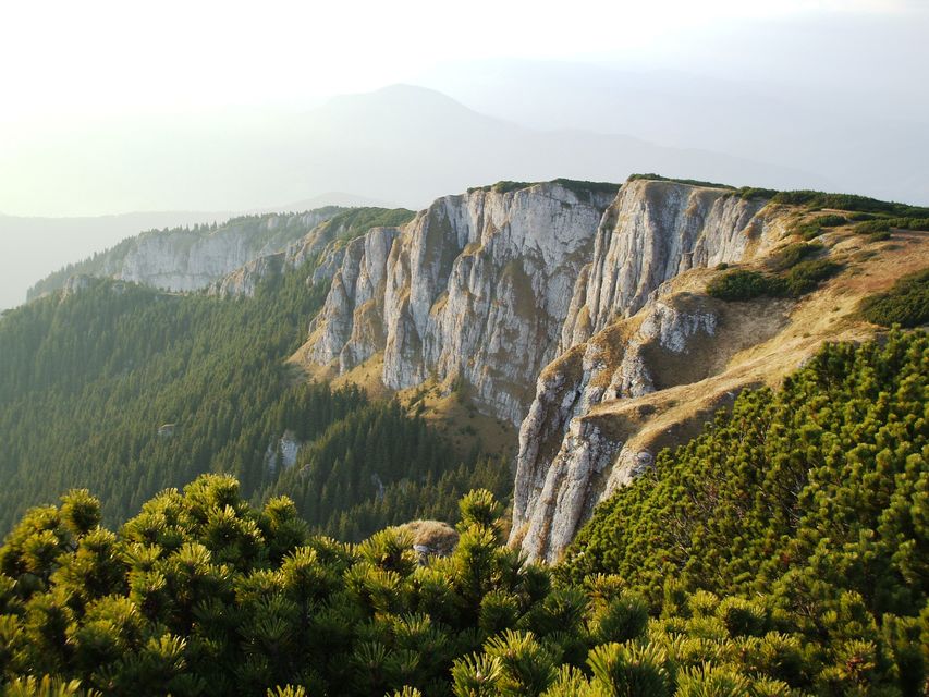
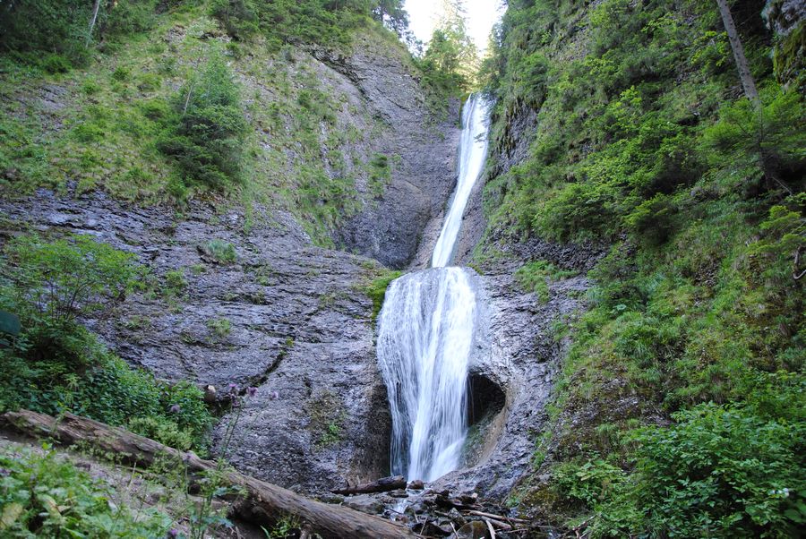
Each route takes you through unique places and offers to tourists great experiences – the complete image of the mountain is revealed to tourists only when they get to the top and after they’ve hiked on all the routes. While hiking you’ll admire three protected areas: The Scientific Reservation “Ocolasul Mare”, the Natural Botanic Reservation “Polita cu Crini” and the monuments of nature Duruitoarea Waterfall and the Big Pothole.
Route 1 (the south-east side):
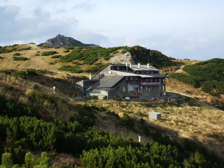
Izvorul Muntelui Chalet (797 m) – Poiana Maicilor (1328 m) – Dochia Chalet (1750 m)
Bookmark: the red line
Time: 6 – 7 h
The distance: 9 km
The level difference: 953 m
Observations:
– forbidden during the winter
– difficulty: high
Route 2 (the east side):
Izvorul Muntelui Chalet (797 m) – Curmătura Lutu Roşu (1020 m) – Dochia Chalet (1750 m)
Bookmark: the blue line
Time: 3 h 30 min
The distance: 6 km
The level difference: 953 m
Observations:
– accessible the entire year
– between the Cabin Izvorul Muntelui and the national road 155 F the bookmark is the blue dot
– difficulty: medium
Route 3 (the east side):
Izvorul Muntelui Chalet (797 m) – Dochia Stone (1185 m) – Jgheabul cu Hotar – Dochia Chalet (1750 m)
Bookmark: blue triangle
Time: 3 h 30 min – 4 h
The distance: 7,5 km
The level difference: 953 m
Observations:
– between the Cabin Izvorul Muntelui and the national road 155 F the bookmark is the blue dot
– difficulty: medium
Route 4 (the north side):
Durau Resort (800 m) – Fantanele Chalet (1220 m) – Dochia Chalet (1750 m)
Bookmark: the red line
Time: 3 h – 3 h 30 min
The distance: 7,5 km
The level difference: 950 m
Observations:
– difficulty: mediun
– from the Fantanele Chalet you can reach PoianaVesuri (Route 5) by following the bookmark yellow triangle
Route 5 (the north-west side):
Durau Resort (800 m) – PoianaVesuri (1195 m) – Duruitoarea Waterfall – Dochia Chalet (1750 m)
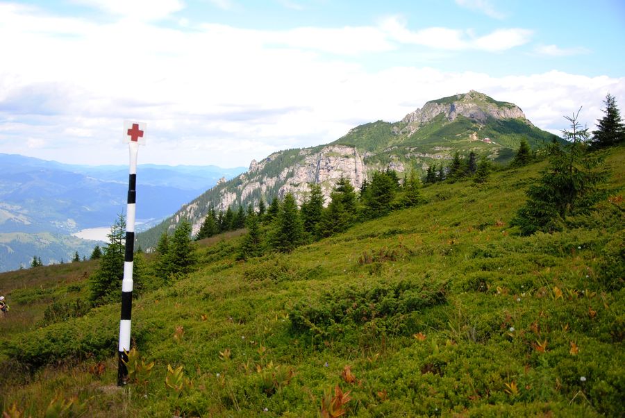
Bookmark: the red cross
The time: 4 h 30 min – 5 h
The distance: 7,5 km
The level difference: 950 m
Observations:
– difficulty: medium
– during the winter the route is accessible up to the Duruitoarea Fall
–from PoianaVesuri you can reach the Cabin Fantanele (route 4) by following the route bookmarked with an yellow triangle
Route 6 (the south-west side):
Bicazul Ardelean (580 m) – Telec (680 m) – CurmaturaStanile (1420 m) – Dochia Chalet (1750 m)
Bookmark: blue line
The time: 7 – 8 h
The distance: 17 km
The level difference: 1170 m
Observations:
– difficulty: high
Route 7 (the south side):
Neagra village (540 m) – Curmatura Varatec (1363 m) – Poiana Maicilor (1326 m) – Dochia Chalet (1750 m)
Bookmark: blue cross
The time: 6 – 7 h
The distance: 14 km
The level difference: 1210 m
Observations:
– difficulty: high
Mountain Rescue Public Service Neamt:
phone 0372/780.106, 0372/780.105
 |
 |
 |
 |
 |
 |
 |
 |
 |
 |


Leave your response!