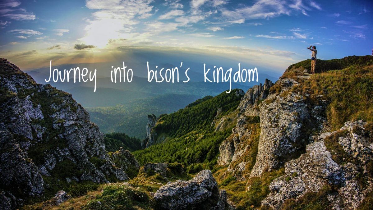
Articles in the Touristic Routes in Ceahlău Massif Category
Ceahlău National Park, Touristic Routes in Ceahlău Massif »
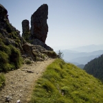
Route no 5: Durau Resort (800 m) – Vesuri Plane (1200 m) – Duruitoarea Waterfall (1210 m) – Polita Scaius (1400 m) – Polita Arinis (1650 m) – Piciorul Schiop (1780 m) – Dochia Chalet (1750 m)
This hiking route from Ceahlau Massif is marked since 1936 and it’s one of the first marked routes from Ceahlau. The marking is a red cross on a white background, the time necessary to make this route is about 5 hours and the length of the route is about 7.5 km. Because of its …
Ceahlău National Park, Hiking Routes, Touristic Routes in Ceahlău Massif »
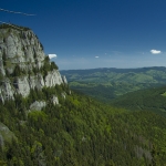
This touristic route is located on the south west region of Ceahlau Massif. Here are some points along the route: Bicazul Ardelean (580 m) – Telec (680 m) – Curmatura Stanile (1420 m) – Dochia Chalet (1750 m). The route is marked with a blue line on a white background. The length of the route is 17 km.
The route can be made on foot from Bicazul Ardelean village to Dochia Chalet or by car to the end of the dirt road that goes through “Poiana Stanile” Plane and then by …
Ceahlău National Park, Touristic Routes in Ceahlău Massif »
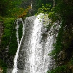
This hiking route from Ceahlau Massif is located on the north side of the mountain. The starting point is in Durau Resort (800 m), continues to Fantanele Chalet (1220 m), Panaghia Stone, Toaca Peak and Dochia Chalet (1750 m). The marking of the route is a red stripe.
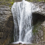
The necessary time to make this route is between 3h and 3h and 30 min and has a length of 7,5 km. The level difference is about 950 m. From Fantanele Chalet you can also go to Duruitoarea Waterfall by following a yellow …
Ceahlău National Park, Hiking Routes, Touristic Routes in Ceahlău Massif »
This hiking route is one of the most used on the west side of Ceahlau Mountain. During winter, because of the high quantities of snow from Ocolasul Mic the route is not recommended. The time necessary to make this hiking route is between 4 and 6 hours (depending on how well trained the group is). The length of the route is about 9 km and the marking is a red line.
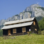
The hike will start in front of Izvorul Muntelui chalet. After you look one more time at Dochia chalet, anticipating …
Entertainment, Hiking Routes, Touristic Routes in Ceahlău Massif »
Cottage Izvorul Muntelui – Curmatura Lutu Rosu – Dochia Chalet – Jgheabul cu Hotar – Dochia Rock – Izvorul Muntelui Chalet
From the Cottage Izvorul Muntelui you can reach the Dochia Chalet (on top of the Mountain Ceahlau) and comeback to the base of the mountain in the same day. Following two touristic routes, this way you’ll experience more of the beauties of Ceahlau Mountain. Both routes are marked on the map and are safe to walk on. Along the routes you’ll also encounter small panels that will tell you few …
Ceahlău National Park, Hiking Routes, Nature Parks, Touristic Routes in Ceahlău Massif »
The complete tour goes up to Dochia Cabin and the bookmark is red cross on white background. Here is the list of points through which the route goes:
Durau (800 m) – Steofan’s Plain – In Vesuri (1200 m) – Duruitoarea Waterfall (1210 m) – Polita Scaius (1400 m) – Piciorul Schiop (1780 m) – Dochia Cabin (1750 m)
The altitude difference is 995 m and the length of the route is 7.5 km. the approximate time for this route is 4 – 5 hours. In winter the route is accessible only …